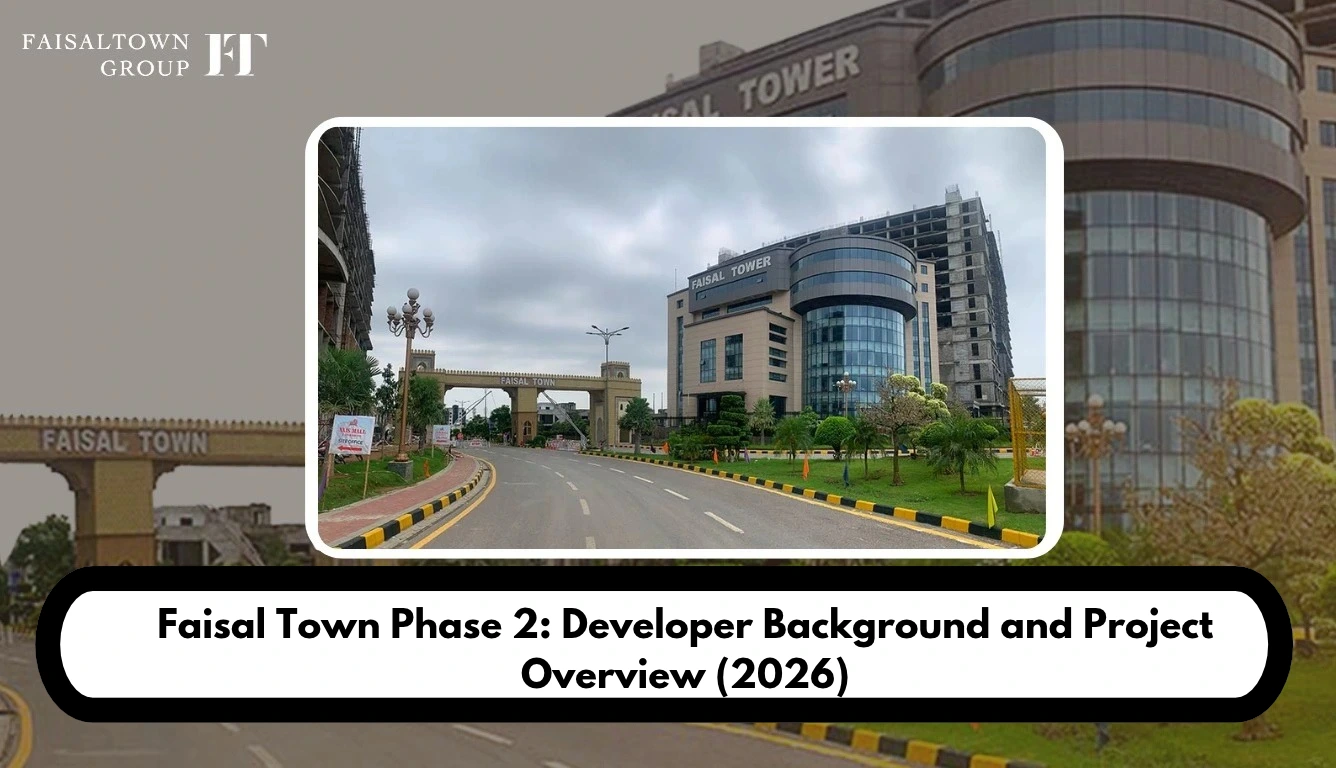
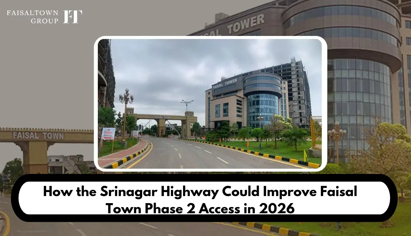
Faisal Town Highway connectivity is an important factor for buyers evaluating Faisal Town Phase 2 Islamabad in 2026. The project appears close to major motorway routes on maps, but proximity alone does not confirm direct road access. Buyers need to know which roads are currently usable, where the actual entrance is located and whether proposed connections have received official approval. This guide examines the available routes, Srinagar Highway claims, Chakri Interchange and M-2 Motorway access to help buyers make informed decisions.
Srinagar Highway shows up in a lot of property pages for exactly this reason. Sellers like to mention it. I couldn’t find a single source, official or otherwise, that shows a confirmed link between that highway and the project. So this guide sorts the evidence into three piles: roads you can use today, roads officials have announced, and roads that only appear in advertisements. It also looks at the Chakri Interchange, M-2 access and the Rawalpindi Ring Road, and it closes with a checklist for testing any Faisal Town Highway claim before you pay a rupee.
Understanding Faisal Town Phase 2 Islamabad and Its Geographical Location
Most sources put the project close to the Thalian Interchange on the M-2 Motorway, near Chakri Road. One property blog goes further and says the scheme fronts the motorway for roughly 10 kilometres and touches Chakri Road for about 3. I’d treat that as market-reported, because I found no official boundary map to back it up. The figures may well be right, but nobody has shown the paperwork.
The entrance is where things get shakier. Two property blogs describe a second gateway on Chakri Road as “expected” or “most likely,” which hints that it hadn’t been confirmed when they were written. Dealer pages, meanwhile, repeat “direct access” without ever naming a gate. For anyone studying the Faisal Town Phase 2 location, that matters: a map pin shows the project area, and it doesn’t promise that the road under your wheels ends at an open entrance.
The sources also disagree on basics. Land size appears as 12,000 kanals on some pages, 100,000 on others and 110,000 on yet another, depending on when each was written. The developer is named as Zedem International in some places and tied to MPCHS or Faisal Town Group elsewhere. I won’t pick a winner here. Ask the developer to confirm these details directly, and start with the official location page and the master plan.
What Is the Current Faisal Town Highway Access Situation in 2026?
Begin with what actually exists. The M-2 Motorway and its Thalian Interchange are part of the national network, and Zameen’s motorway guide lists Thalian among the M-2 interchanges. Chakri Road is a real local road too, since the Ring Road’s published alignment crosses it. Both facts are map-identified and widely reported. Neither one proves that a car can roll from the highway to the society gate on public roads.
Then there’s the unfinished work. According to Dawn, the Rawalpindi Ring Road runs 38.3 kilometres from Baanth on GT Road to Thalian on the motorway. Reports in June 2026 said it would open first through the Baanth interchange, and a July report said the opening had slipped by another month. A later Express Tribune item described the road as awaiting its formal inauguration. Despite searching, I couldn’t confirm that it had formally opened by 31 October 2026.
Thalian Interchange is its own story. The Express Tribune reported on 18 May 2026 that the interchange plan had been approved, with the National Highway Authority (NHA) responsible for a two-lane link road beyond it. Dawn had reported a month earlier that the provincial government would open the Ring Road with a two-way carriageway and build the interchange afterwards. That makes Thalian a planned junction, not an operational one.
Everything else belongs in weaker categories. “Direct entry” is advertised. A road from Srinagar Highway to the project is unverified. An official entrance map was not located. If you remember one thing from this section, make it this: plan around the roads you can drive today, and don’t plan around a brochure.
How Could Srinagar Highway Improve Faisal Town Phase 2 Access?
Promotional pages say the project is easy to reach from Srinagar Highway, yet none of them shows the road, the junction or the authority behind it. What they do show is a scatter of numbers that don’t agree with each other, and that scatter says a lot. The next three subsections cover what the highway is, what a link could change and what has to happen first.
Understanding the Highway’s Relevance
Srinagar Highway is an Islamabad road within the Capital Development Authority’s network. A PIDE research note describes it as a two-way, five-lane road, and the CDA announced plans in 2022 for interchanges or underpasses at the G-9, G-10 and G-11 signals. An older ProPakistani report also ties it to the new Islamabad International Airport. It’s clearly a major city artery. Nothing in those records, however, connects it to the Thalian area.
It’s also a different road from the others in this guide. Srinagar Highway is not the M-2 Motorway, and it isn’t the Rawalpindi Ring Road either. Dealer pages tend to blur those names together, so a nearby road starts to sound like a connected one. When you’re judging Islamabad Highway Access, check every road by name and by the authority that owns it.
What Could Change If a Connection Becomes Available?
A genuine link could give drivers from Islamabad’s western sectors a second way in. It might ease pressure on a single approach road, and it would let visitors choose between routes depending on the hour. Residents who commute at different times would benefit too. Still, every one of those gains depends on where the link starts, where it ends and whether ordinary traffic is allowed on it.
Meanwhile, the numbers in circulation contradict each other. One blog says the drive from the project to Srinagar Highway takes about 11 minutes, a classifieds page says 20, and another site says 22. None of them names a starting point, an entrance or a date. Taken together, they tell you nothing reliable.
What Must Be Confirmed Before Calling It a Direct Connection?
Five questions settle it. Is there an official proposal, and which authority owns it? Has someone approved the alignment? Does an approved plan show the junction? Has construction started, with dated proof? And does the finished road reach a point where the public can really enter? Until all five answers are yes, a “direct connection” is a hope, not a fact.
I found no record answering those questions for Srinagar Highway and this project. That doesn’t prove nothing exists. It means the claim stays unverified, and anyone repeating it should say so.
Chakri Interchange and Its Role in Faisal Town Phase 2 Connectivity
The name Chakri Interchange needs careful reading, because it covers two different things. Zameen’s motorway guide lists a Chakri Interchange among the M-2 interchanges. Separately, the Rawalpindi Ring Road plans its own interchange on Chakri Road, which RDA material calls Kolian Parr. The Express Tribune reported in May 2026 that work on the Ring Road’s four interchanges, Chakri included, had reached 85 percent.
Dealer distances only add confusion. One page says the Chakri Interchange is about 3 minutes from the society, while another says 30. They can’t both be correct, and neither names the gate or the road. So the interchange tells you roughly which area you’re heading toward, but it can’t tell you how to reach the front entrance.
An interchange is a junction, and a junction is not an entrance. It connects you to the motorway or Ring Road without necessarily delivering you to a specific society. What matters is the stretch after it, which usually runs along Chakri Road or connecting streets. Reliable evidence about that last stretch was thin, so I’m keeping my description of it general.
Who gains from this corridor? Drivers coming from Rawalpindi or the Ring Road side may find it most useful once that road opens, while others may prefer a different route altogether. Either way, look at the road condition near the gate before you count on it.
M-2 Motorway Access and Regional Travel Connections
The M-2 links Islamabad with Lahore, and Thalian is one of its interchanges. For visitors from other cities, M-2 Motorway Access is the long-distance part of the trip. It gets you to the Thalian area, though it won’t drop you at a society gate. Being near a motorway and having access to it are different things, and the final connecting road decides which one applies to you.
The Ring Road matters here as well. It ends at the M-2 near Thalian, so it feeds into the same corridor. Dawn reported that more than 18,000 vehicles were expected to enter the motorway from the Ring Road, which is why the Thalian section was being widened. The NHA was also reported to be expanding the service road. Expect some construction and possibly queues around that stretch.
Promotional pages also boast about quick access to the M-1 and the airport. I couldn’t verify those routes or their timings, so I’ve left them out. A trip from Lahore, for example, would use the M-2 very differently from a trip out of central Rawalpindi, and a single promised minute count can’t cover both.
Think of the motorway as one leg of the journey. It handles distance well, whereas the local roads decide how easy the final few kilometres feel. Check both before you plan a visit.
Faisal Town Islamabad Highway Connectivity: Existing Routes Compared With Future Possibilities
The table below puts each road’s status in one place. It uses the evidence labels from my research and stops short of drawing a continuous route where the evidence ends.
| Road or connection | Current evidence | Status label | Buyer relevance |
| M-2 Motorway and Thalian Interchange | Listed among M-2 interchanges | Map-identified, operational network | Regional travel |
| Chakri Road | Crossed by the Ring Road alignment | Map-identified, gate link not verified | Likely local approach |
| Rawalpindi Ring Road | Dawn and Express Tribune reports through mid 2026 | Near completion, opening not confirmed by 31 October | Possible alternative route |
| Thalian Interchange upgrade | Plan approved, work timing unclear | Planned | Smoother motorway entry later |
| Srinagar Highway link | No official record located | Unverified | Possible alternative access |
Read it row by row. The first two rows describe things you can already see on a map. The third is close but not confirmed open, and the last two are future or unproven.
When people talk about Faisal Town Islamabad Highway links, one habit prevents a lot of grief. Judge the whole route, from your own starting point to the gate, and not a single road name. A great highway with a missing last stretch is still a missing stretch.
Faisal Town Phase 2 Directions: How to Verify the Best Route Before Visiting
Good directions begin with the right gate, so the first job is to find out which entrance to use. The steps below should keep you out of the usual traps.
Confirm the Correct Entrance
Don’t trust a pin on its own. Ask the developer’s office for the entrance name and for a pin dropped at the gate itself. Dealer directions can help, but they stay dealer-provided until you’ve tested them yourself. The contact page is the official channel for this question.
Check the Route From Your Starting Point
The best way in depends on where you begin. A drive from central Islamabad looks different from one that starts in Rawalpindi or Lahore. Type your own address into a mapping app and compare at least two routes. Ignore minute counts on sales pages, since they rarely say where the clock started.
Verify Road Conditions and Public Access
Find out whether the roads are open today. Works near Thalian could mean detours or slow traffic. Confirm, too, that the final connecting road reaches the gate and carries ordinary public traffic. A road that looks finished on a map can still be closed on the ground.
Recheck Before Travelling
Maps and construction schedules change. Open your route again on the morning of the visit, and if you know someone nearby, ask about local conditions. Any Faisal Town Phase 2 Directions you saved last month deserve a fresh look before you rely on them.
Could Better Faisal Town Road Connectivity Influence Property Demand?
For people who plan to live somewhere, easier access usually counts for a lot. A flexible route helps with school runs, hospital visits and family gatherings, and visitors who can’t find the gate may lose interest quickly. That’s why buyers often weigh Faisal Town Road Connectivity when they compare nearby societies, as in the comparison with Capital Smart City.
Roads alone don’t create demand, though. Legal and approval status carries real weight, and the NOC page is where that discussion belongs. Development progress, utilities, nearby facilities, actual occupancy and affordability all play their part, and so does the general market mood, which can shift faster than any road project.
For that reason I won’t predict prices. I found no reliable market data linking any specific road to a measured price change for this project. In principle, better access can make a location more practical. Whether it moves prices, rents or resale is a separate question, and the plot prices article and the investment guide cover the money side.
What Buyers Should Verify Before Depending on Future Highway Connectivity
An advertised road is a promise, and a promise isn’t a benefit you own. Before it shapes your decision, run the four checks below.
Check Official Approvals
Look for the approving authority, the approved alignment and any approved junction plan, along with rights of way and permissions. A developer’s announcement doesn’t equal an authority’s approval. If the road belongs to the NHA, the RDA or the CDA, ask for the record from that body.
Confirm the Actual Road Connection
Find out where the road begins and where it ends. Does it touch the society’s boundary or stop short? Does it need another connecting road? Can the public drive on it today? Vague answers to any of these are a warning sign.
Examine Construction Evidence
If someone describes a road as under construction, ask for dated photos, progress reports or credible news. One undated picture proves almost nothing. The developer’s site visit post and latest updates article show what the developer says about progress. Those statements are developer-stated, so they still need independent support.
Compare Different Claims
Put the developer’s statements next to authority records and independent reporting. When they clash, say so and ask for an explanation. Finally, judge current access separately from future promises. The buyer guide and the payment plan page cover the other side of the decision.
Faisal Town Phase 2 Connectivity Outlook: What Is Confirmed in 2026?
This summary reflects research up to 31 October 2026.
Confirmed: The M-2 Motorway, its Thalian Interchange and Chakri Road exist. Dawn and the Express Tribune report that the Rawalpindi Ring Road runs from Baanth to Thalian and was near completion by mid 2026. The Express Tribune also reports that the Thalian Interchange plan was approved in May.
Reported or planned: The Thalian Interchange upgrade and the NHA link road beyond it are planned. Later reports said work was expected to begin in July 2026, but I couldn’t confirm that it did. A formal Ring Road opening also remained unconfirmed.
Unverified: A direct Srinagar Highway connection, the exact entrance location and every minute count on dealer pages.
No supporting record was located for those last items. That doesn’t prove they don’t exist. It means the available evidence doesn’t establish them, and the relevant authorities’ current position couldn’t be confirmed.
Conclusion: What Could Srinagar Highway Mean for Faisal Town Highway Access?
So what does the evidence say? Right now, the realistic way in uses the M-2 corridor around Thalian and local roads such as Chakri Road. The Chakri Interchange and the Ring Road may strengthen that corridor, but the Ring Road’s formal opening and the Thalian upgrade weren’t confirmed by the research date. Srinagar Highway could help if a suitable link wins approval and opens to the public, yet no record shows such a link today.
In practice, then, the Faisal Town Highway question is simple. Judge the roads you can drive now, and treat future links as possibilities. Before you buy, confirm the actual gate, test the route from your own starting point and ask for the authority record behind any proposed connection.
Frequently Asked Questions
Q1: Where is Faisal Town Phase 2 located in Islamabad?
Ans: Sources place it near the Thalian Interchange on the M-2 Motorway, close to Chakri Road. Reports differ on its size and boundary. A location pin also shows the project area rather than the gate, so confirm the entrance with the developer.
Q2: What is the relationship between Srinagar Highway and Faisal Town Phase 2?
Ans: Promotional pages mention Srinagar Highway as a nearby road. I found no official record, map or news report showing a direct connection, so the relationship is advertised and unverified. The quoted drive times of 11 to 22 minutes come from pages that name no starting point.
Q3: Does Faisal Town Phase 2 have direct highway access?
Ans: The project sits near the M-2 corridor, but proximity isn’t direct access. Dealer pages claim direct entry, yet no official entrance map was located. Confirm the gate and the connecting road yourself before relying on that claim.
Q4: How does Chakri Interchange connect with Faisal Town Phase 2?
Ans: The name refers to an interchange on the M-2 network and to a planned Ring Road interchange on Chakri Road. Either way, the last stretch to the society runs along local roads that I couldn’t verify in detail. Dealer distances of 3 and 30 minutes disagree, so check your own route.
Q5: Is M-2 Motorway access convenient for Faisal Town Phase 2?
Ans: It can be for long trips, since Thalian sits on the M-2. You still need connecting roads to reach the society, though, and works around Thalian may slow traffic. Convenience depends on your starting point and on road conditions that day.
Q6: Could improved road connectivity increase demand for Faisal Town Phase 2?
Ans: Better access can make a location more practical and may raise buyer interest. It doesn’t guarantee higher prices, rental demand or returns. Legal status, development progress, facilities and the wider market matter just as much.